Value
How can CitySesnses help ?
Safety for users
The user gets instant feedback on the situation behind and around him. This way he can react or drive accordingly.
Safety Map
The map shows the most suitable or dangerous streets for bicycles. Plan your the safest route!
Purposeful road expansion
Based on the data we can give citys hints where a road expansion for bicycles is urgent. Do not waste time and build the most important parts first.
Your drivers profile
Your drivers profile is being tailored by you! Analyze your own behaviour and get feedback on your driving style according to the average of the user base.

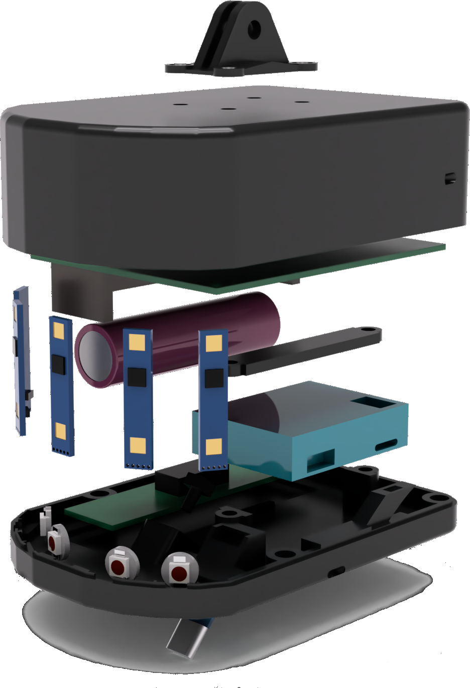
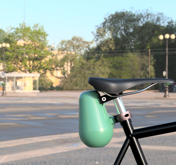
The Product
Communication Web
The web is part of the communication loop. Track your personal and the global map here to see an accurate map
Communication App
An app is the heart of the usage for personal use. Get eyes for the spots you cannot see to drive safely.

Motivation behind everything
It started with curiosity and a competiton called COSIMA. For the competition the first few team members thought about problems in their day to day life and how to solve them with their engineering mindset. As they all have been driving bicycles across the city, CitySenses has been born. In summary we noticed
- Willing to start something
- Safety for riders
- Good road expansion
There are some well known dangerous streets in some cities. But why won't they be fixed and why are other seemingly not dangerous roads being enhanced? To serve as a first-aid safety measurement and proper data to improve the right places the first version of the product was made. After some iterations we made it more efficient in performance and size.
Team
The Team behind the idea
We are students from the Fachhochschule Aachen. We all met in the preliminary course for mathematics.

Oliver Kuipers
Web Developer & Product Design
Ben Evans
Embedded Systems Engineer
Martin Tomaszewski
App/Flutter DeveloperContact
Contact us!
For every kind of question or business inquiry
