CitySenses
- Category: Embedded
- Employer: Personal
- Project date: 2023
- Project URL: CitySenses Website
Project Information
CitySenses
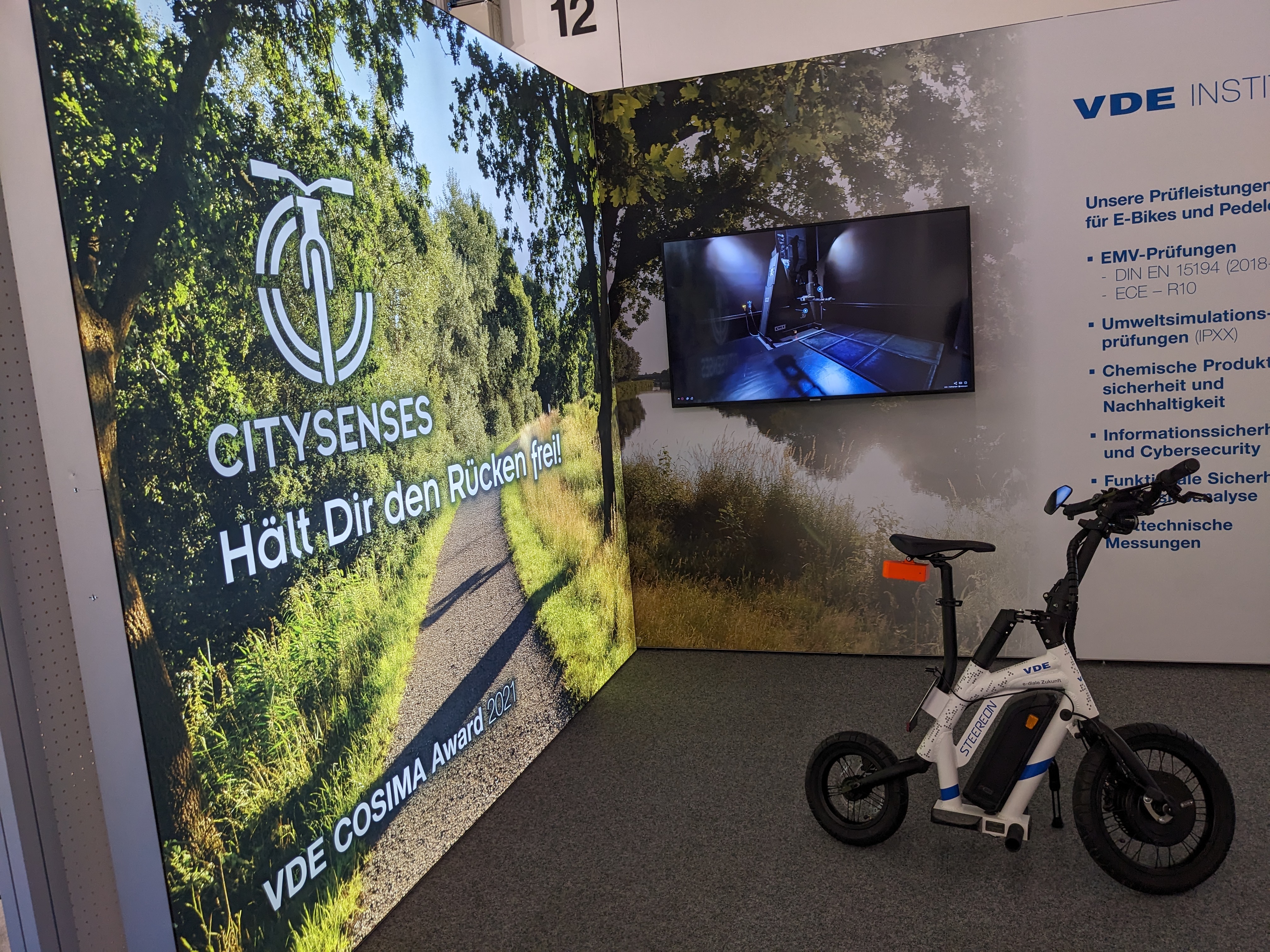
CitySenses was developed as a follow-up project to RADar, which we presented at COSIMA. We had been considering the idea for some time, and when we received an invitation to iCAN 2023 (along with a sponsored trip to Japan), we had a compelling reason to start working on it. Coincidentally, we were contacted by VDE Prüf- und Zertifizierungsinstitut GmbH, who had seen our RADar project at COSIMA and wanted us to demonstrate it at their stand at the Frankfurt Eurobike Messe. This happened to be the week before the contest in Japan, so the timing couldn't have been better. We agreed and got to work.
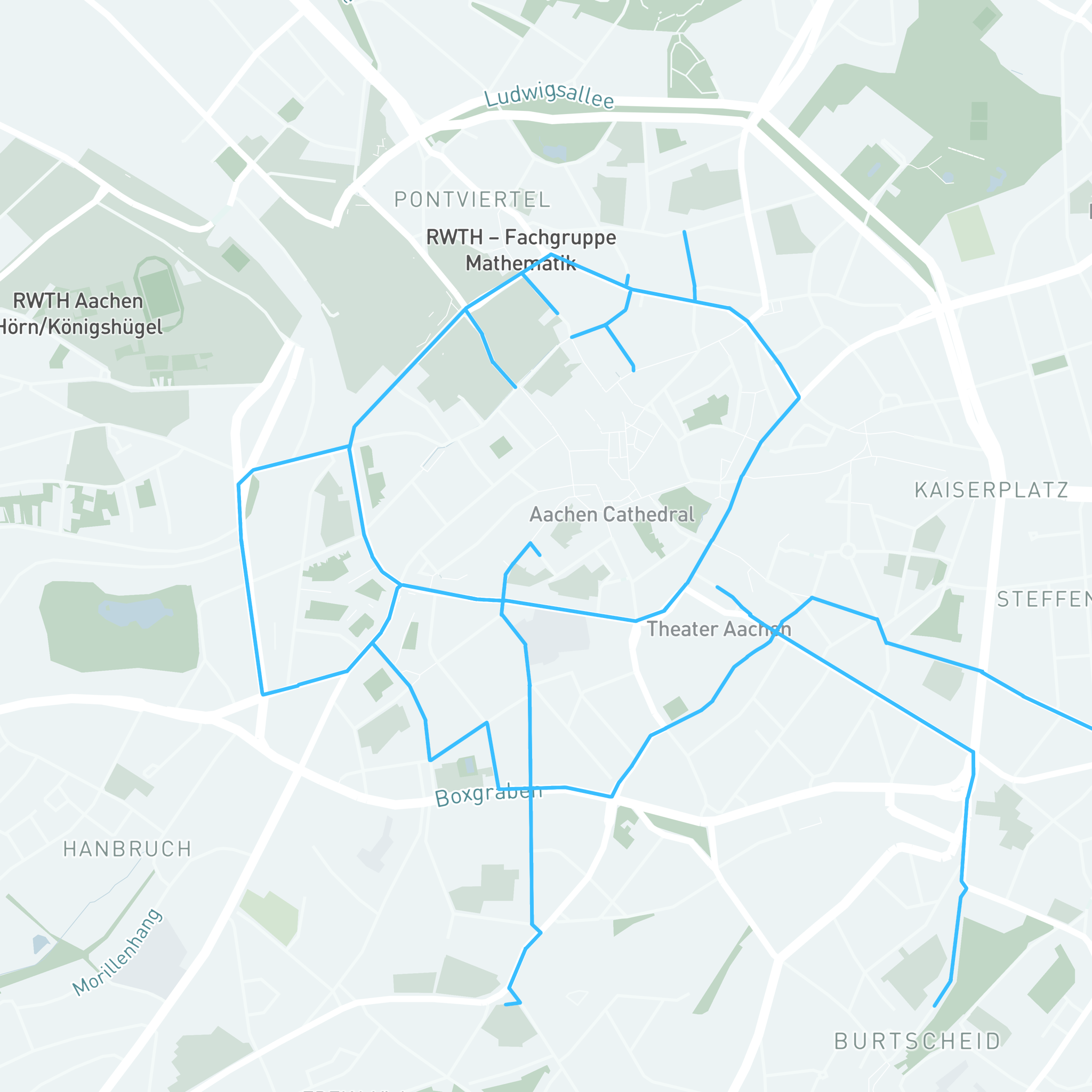
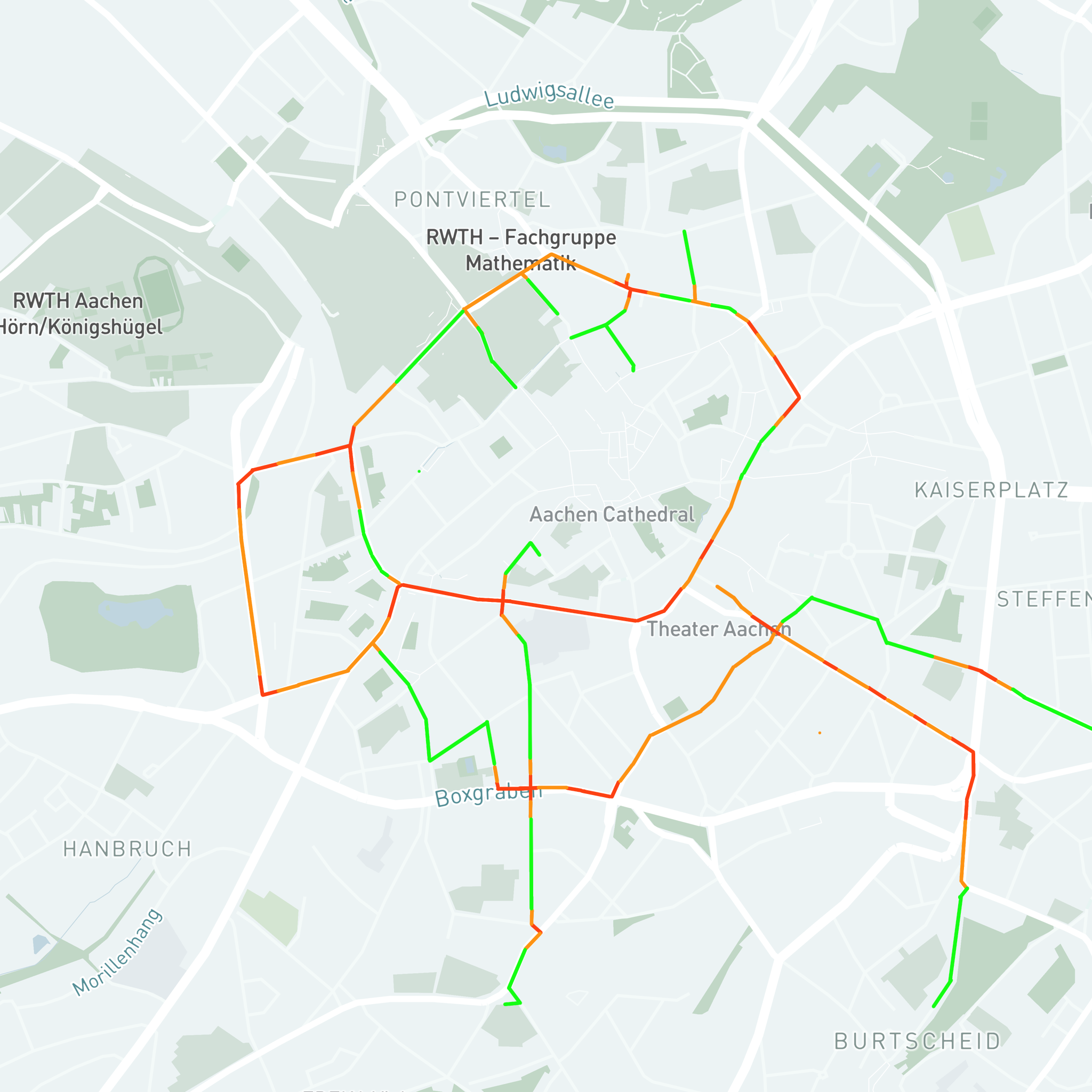
The idea that originated from RADar was to not only warn cyclists about potential dangers while they ride through the city but also to collect and analyze data to identify potential accident hotspots.
These hazardous scenarios could include cars maintaining small safety distances from cyclists, significant speed differences between cars and cyclists, and areas with frequent strong braking. Ultimately, the goal was to generate heat maps of cities, highlighting the danger hotspots. City councils could then use this data to prioritize areas for infrastructure improvements.
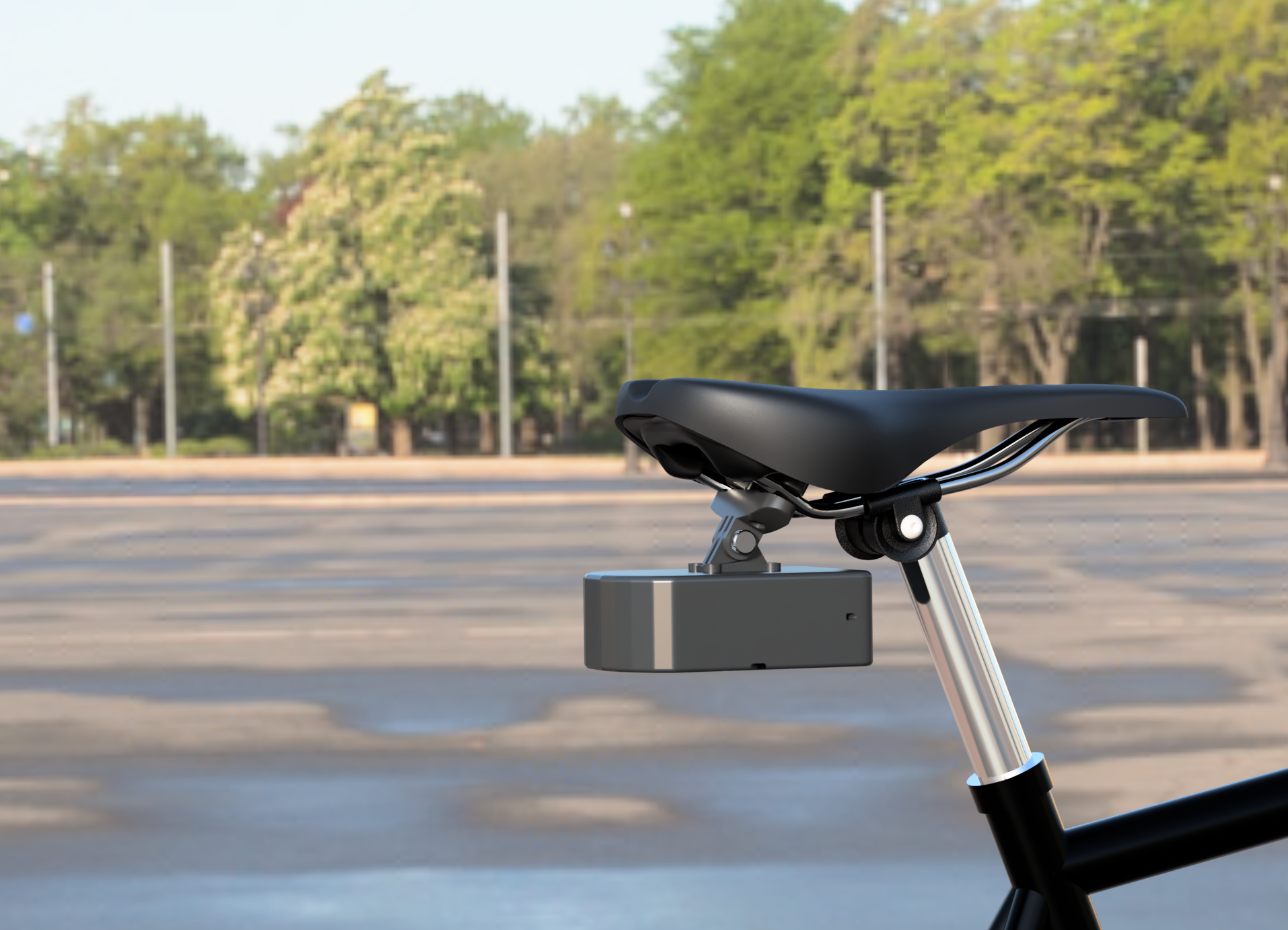
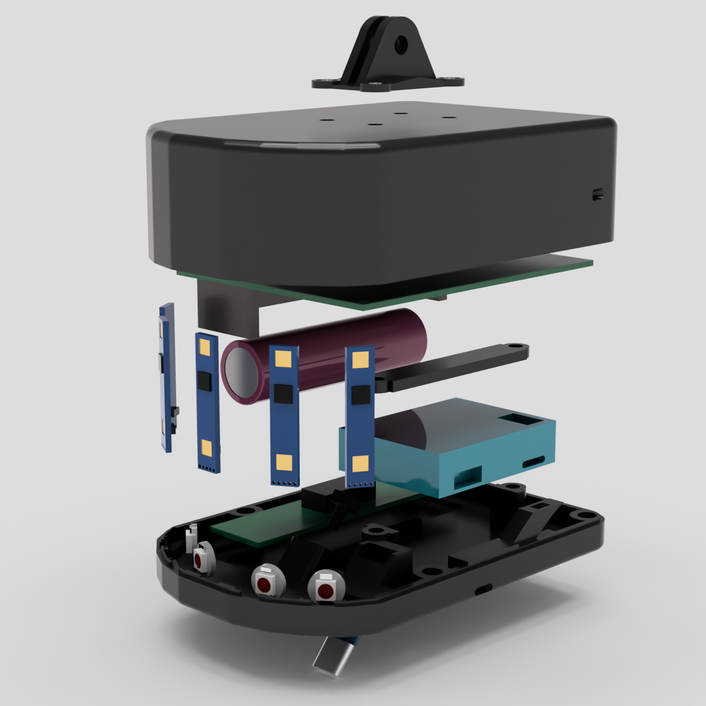
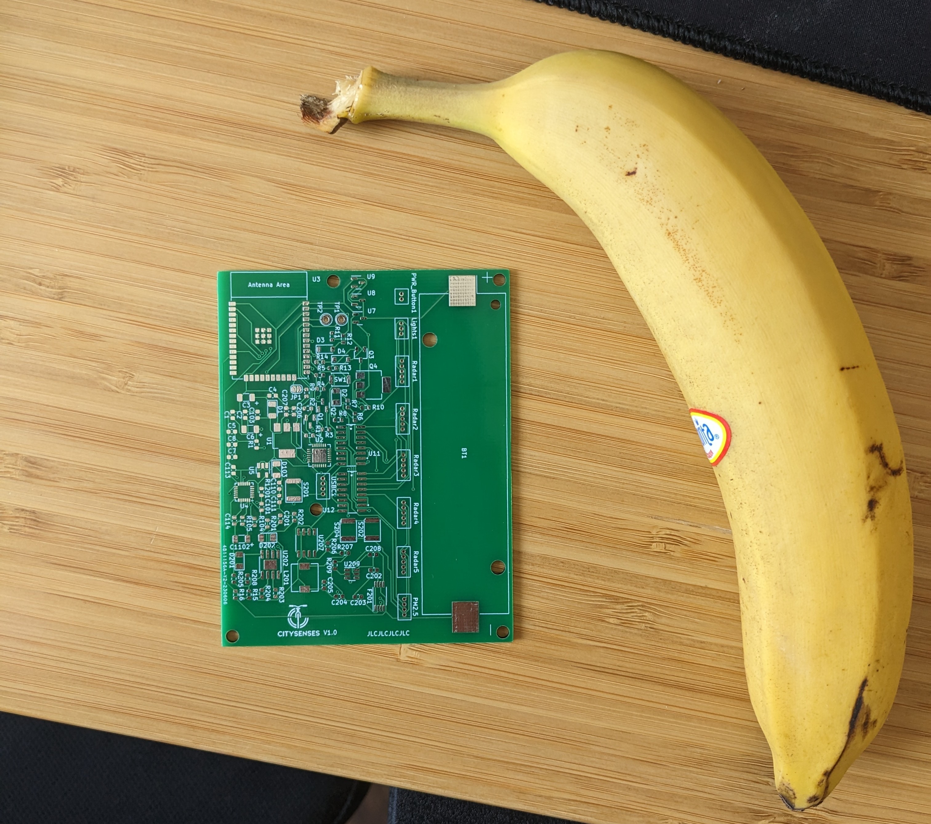
This module contains 5 radar sensors, accelerometers, gyroscopes, and an air particle sensor. These sensors are used to gather information on:
- Distances and speeds between cyclists and other vehicles
- Quality of the road surface
- Cyclist riding style
- Air quality
All of this data can then be combined with the GPS coordinates gathered by the phone, leading to an extensive dataset.
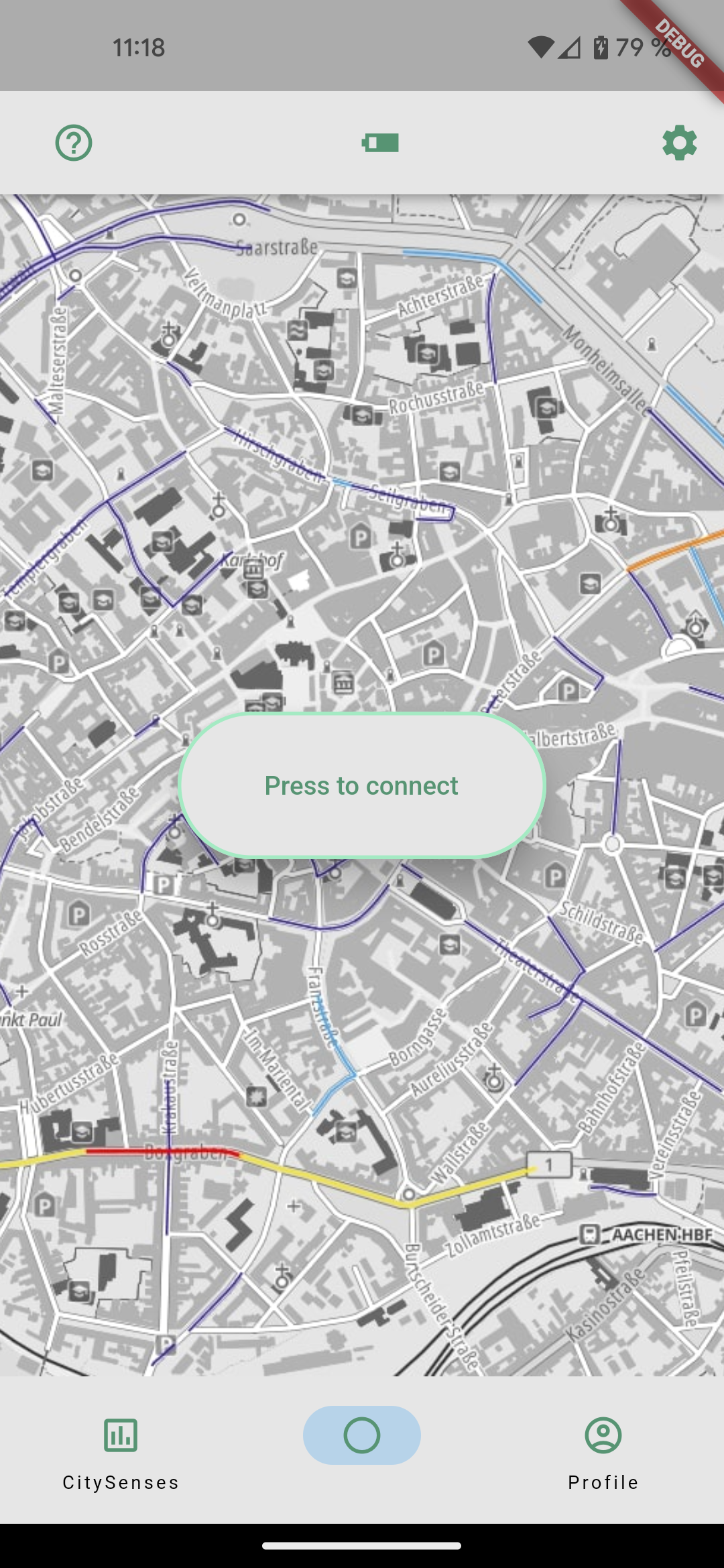
The app consists of three main screens: the home, scanner, and profile screens. The home screen primarily serves to establish a connection to the module by pressing the connect button. The module, driven by an ESP32, can be connected to the app using BLE (Bluetooth Low Energy).
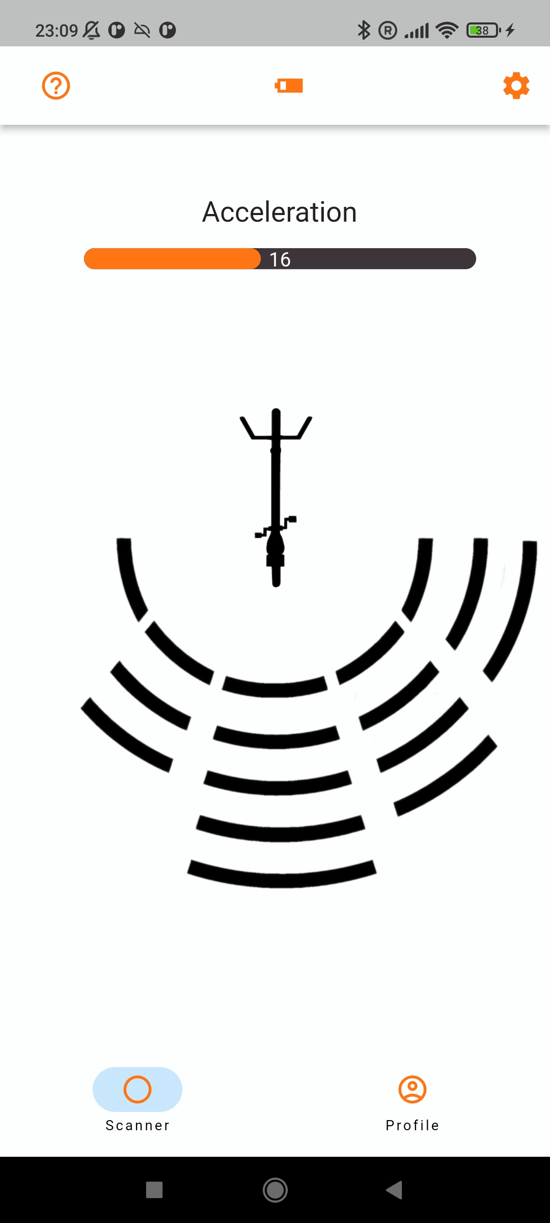
Once the connection is established, the scanner screen displays data received from the module. This includes the total acceleration currently experienced (excluding gravity) and readings from the radar array. Since five sensors are used, the detection area is divided into five zones. Although it would be possible to create more zones due to overlapping detection angles, in testing, the scanner screen became too cluttered for the intended "quick glance" use case. Therefore, we stuck with just the five zones and reduced the number of activation zones for the angle zones. This decision was made because most phone screens aren't wide enough, and the distance between cars and cyclists is smallest when directly next to the cyclist.
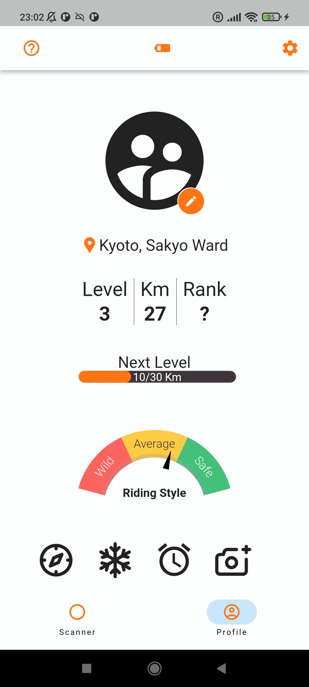
The third screen of the app is the profile screen, where users can take or choose a picture for their profile and view statistics on the gathered data, moving towards a gamified experience. However, this was more of a fun idea than an actual fully implemented feature.
That's it for the explanation of the system. A lot more happens in the background like communication between the app and the server to gather the information, but that would be a bit much for this post.
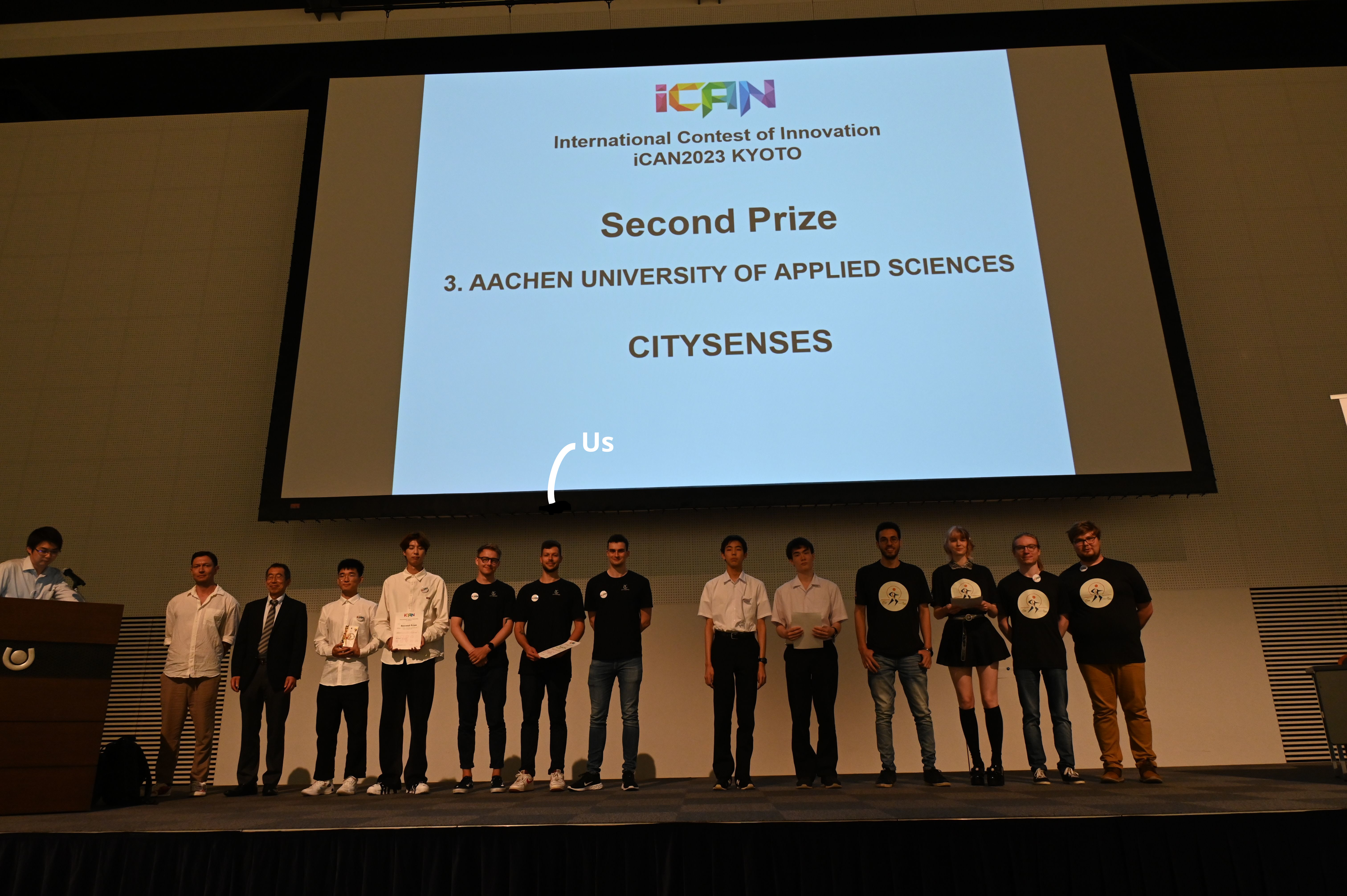
To finish off, here are some pictures of the setup at Eurobike 2023 in Frankfurt and the prize ceremony at iCAN 2023 in Kyoto, where we won the 2nd prize!
Thanks to VDE again for the invitations!
